
Exploring the Benefits of Geographical Information Systems

Geographical Information Systems (GIS) have transformed the way we analyze and visualize spatial data. From urban planning to environmental conservation, GIS technology plays a crucial role in various sectors. This post will delve into the numerous benefits of GIS, illustrating how it enhances decision-making, improves efficiency, and fosters collaboration across different fields.
Understanding Geographical Information Systems
What is GIS?
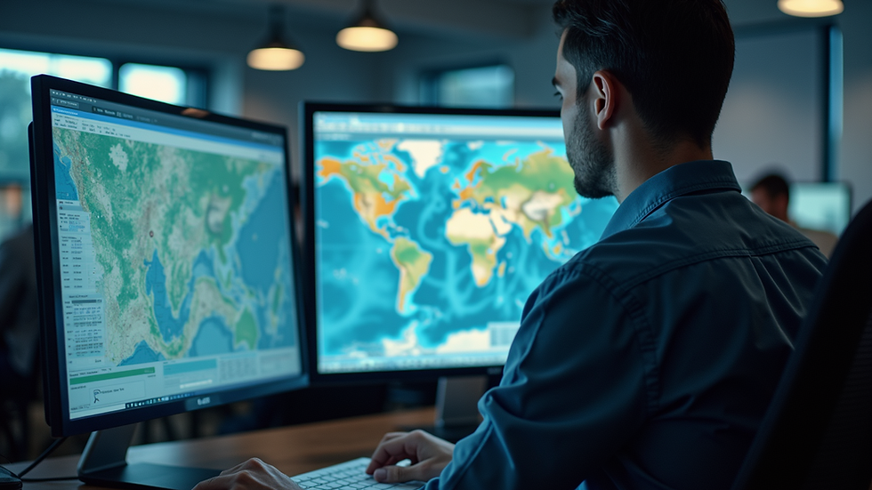
At its core, a Geographical Information System is a framework for gathering, managing, and analyzing spatial and geographic data. GIS integrates various data types, including maps, satellite imagery, and databases, allowing users to visualize and interpret complex information in a geographic context.
Key Components of GIS
Hardware: This includes computers and GPS devices that collect and process data.
Software: GIS software enables users to analyze and visualize data. Popular examples include ArcGIS and QGIS.
Data: The foundation of GIS, data can be collected from various sources, including surveys, remote sensing, and existing databases.
People: Skilled professionals are essential for operating GIS systems and interpreting the data.
Benefits of GIS
Enhanced Decision-Making
GIS provides decision-makers with powerful tools to visualize data and analyze trends. For instance, urban planners can use GIS to assess land use patterns, helping them make informed decisions about zoning and development. By overlaying different data layers, planners can identify potential issues, such as traffic congestion or environmental impacts, before they arise.
Improved Efficiency
Incorporating GIS into workflows can significantly enhance efficiency. For example, logistics companies use GIS to optimize delivery routes, reducing fuel consumption and improving delivery times. By analyzing geographic data, these companies can identify the most efficient paths, saving both time and resources.
Better Resource Management
GIS is invaluable for managing natural resources. Environmental scientists use GIS to monitor ecosystems, track wildlife populations, and assess the impacts of climate change. By visualizing data on a map, they can identify areas that require conservation efforts or restoration, ensuring that resources are allocated effectively.
Increased Collaboration
GIS fosters collaboration among different stakeholders. In community planning, for example, local governments, residents, and businesses can use GIS to share information and engage in discussions about development projects. This collaborative approach leads to more inclusive decision-making and helps build consensus within communities.
Real-Time Data Analysis
With advancements in technology, GIS can now analyze real-time data. For instance, emergency services can use GIS to track incidents as they happen, allowing for quicker response times. By integrating real-time data with historical information, responders can make informed decisions during crises, ultimately saving lives.
Applications of GIS
Urban Planning
Urban planners utilize GIS to create sustainable cities. By analyzing demographic data, land use, and transportation networks, planners can design urban spaces that meet the needs of residents while minimizing environmental impact. For example, cities like Portland, Oregon, have successfully implemented GIS to enhance public transportation and green spaces.
Environmental Management
GIS plays a crucial role in environmental management. Conservationists use GIS to track deforestation, monitor endangered species, and assess the health of ecosystems. By visualizing data on a map, they can identify critical areas for protection and develop strategies to mitigate environmental threats.
Agriculture
Farmers and agricultural scientists use GIS to improve crop yields and manage resources efficiently. By analyzing soil data, weather patterns, and crop health, they can make informed decisions about planting, irrigation, and pest control. This precision agriculture approach leads to increased productivity and sustainability.
Public Health
In public health, GIS is used to track disease outbreaks and assess health disparities. By mapping the spread of diseases, health officials can identify at-risk populations and allocate resources effectively. For example, during the COVID-19 pandemic, GIS was instrumental in tracking infection rates and guiding public health responses.
Transportation
Transportation agencies use GIS to improve infrastructure and enhance safety. By analyzing traffic patterns and accident data, they can identify high-risk areas and implement measures to reduce accidents. Additionally, GIS helps in planning new transportation routes and optimizing public transit systems.
Challenges and Considerations
Data Quality
One of the significant challenges in GIS is ensuring data quality. Inaccurate or outdated data can lead to flawed analyses and poor decision-making. It is essential for organizations to implement robust data collection and validation processes to maintain the integrity of their GIS systems.
Technical Expertise
Operating GIS software requires specialized skills. Organizations must invest in training and development to ensure their staff can effectively use GIS tools. This investment is crucial for maximizing the benefits of GIS technology.
Cost
Implementing a GIS system can be costly, especially for small organizations. However, the long-term benefits often outweigh the initial investment. Many organizations find that the efficiency gains and improved decision-making capabilities lead to significant cost savings over time.
Future of GIS
The future of GIS looks promising, with advancements in technology driving innovation. The integration of artificial intelligence (AI) and machine learning into GIS systems will enhance data analysis capabilities, allowing for more accurate predictions and insights. Additionally, the increasing availability of open data will democratize access to GIS technology, enabling more organizations to leverage its benefits.
Conclusion
Geographical Information Systems offer a wealth of benefits across various sectors, from enhancing decision-making to improving resource management. As technology continues to evolve, the potential applications of GIS will expand, providing even more opportunities for innovation and collaboration. By embracing GIS, organizations can make informed decisions that positively impact their communities and the environment.
As you consider the role of GIS in your field, think about how you can leverage this powerful tool to improve efficiency, foster collaboration, and drive meaningful change. Whether you are in urban planning, environmental management, or public health, GIS can be a game-changer in your decision-making processes.


Comments